Trails for Everyone
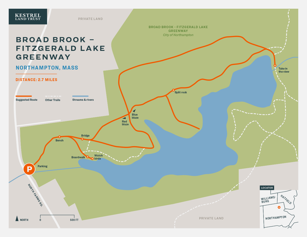
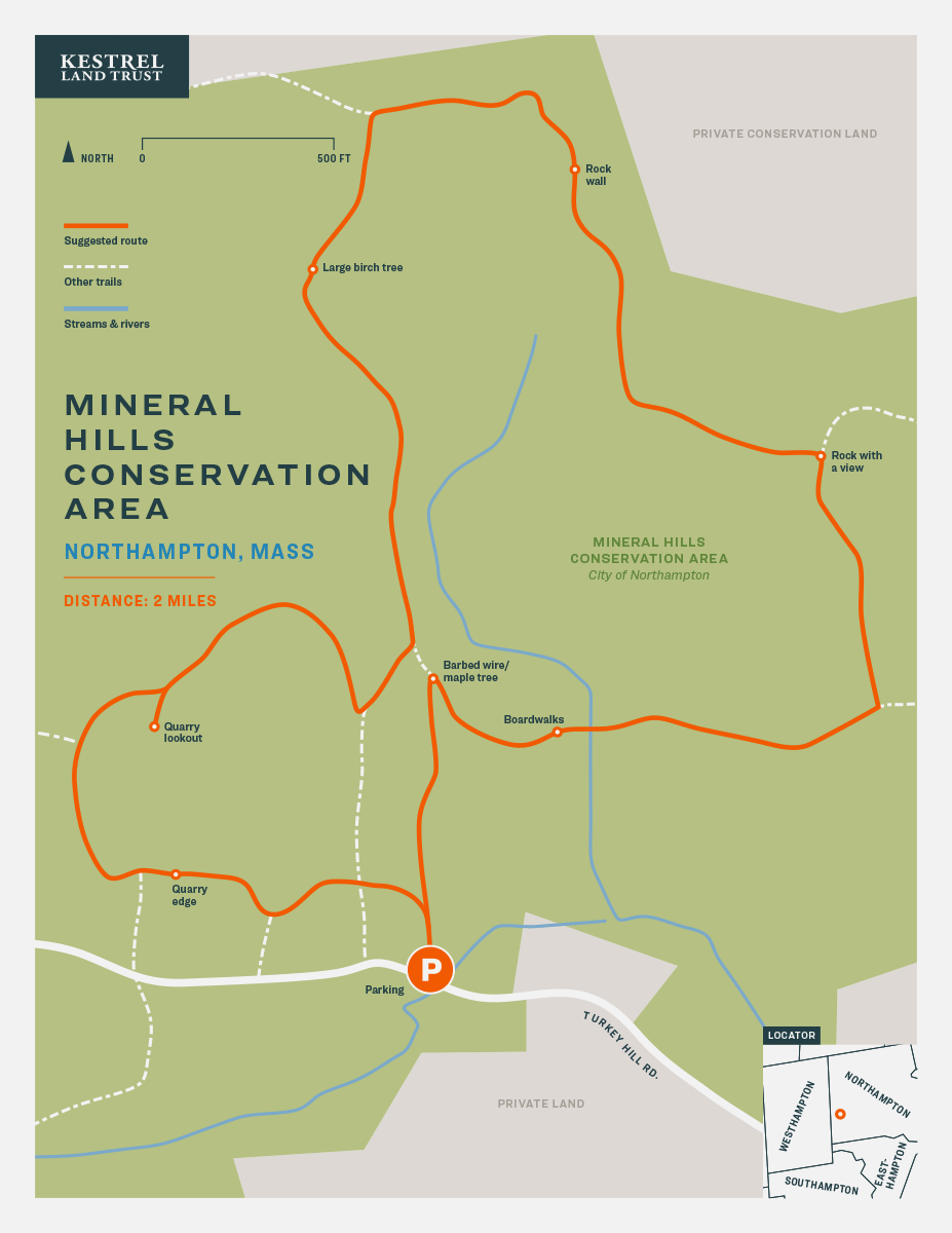
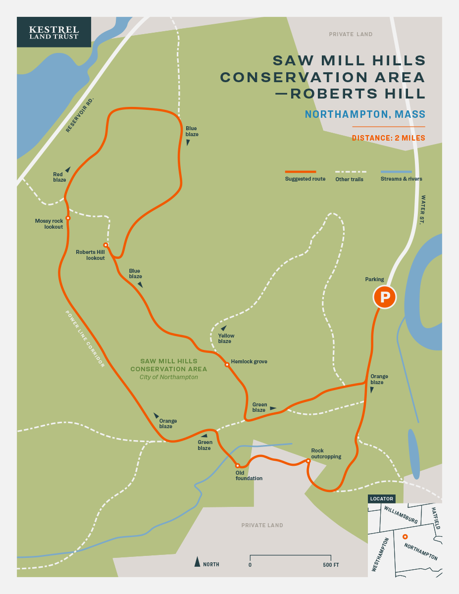
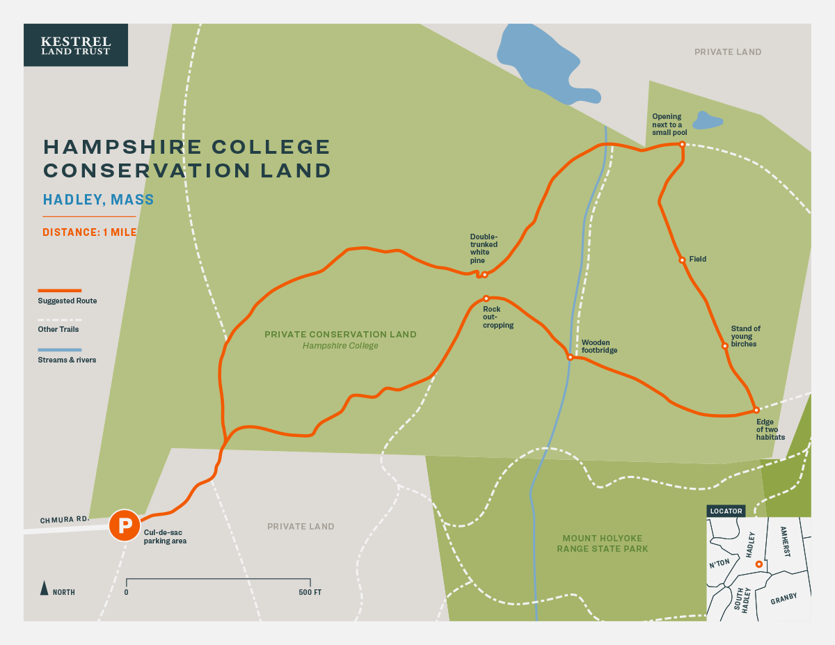
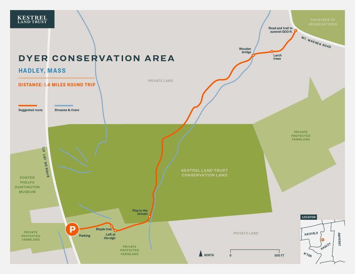
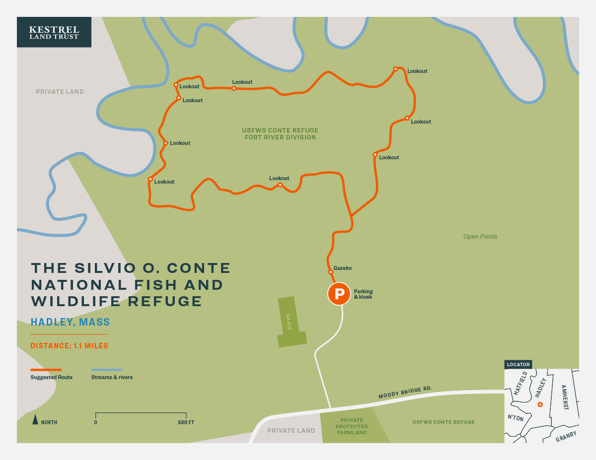
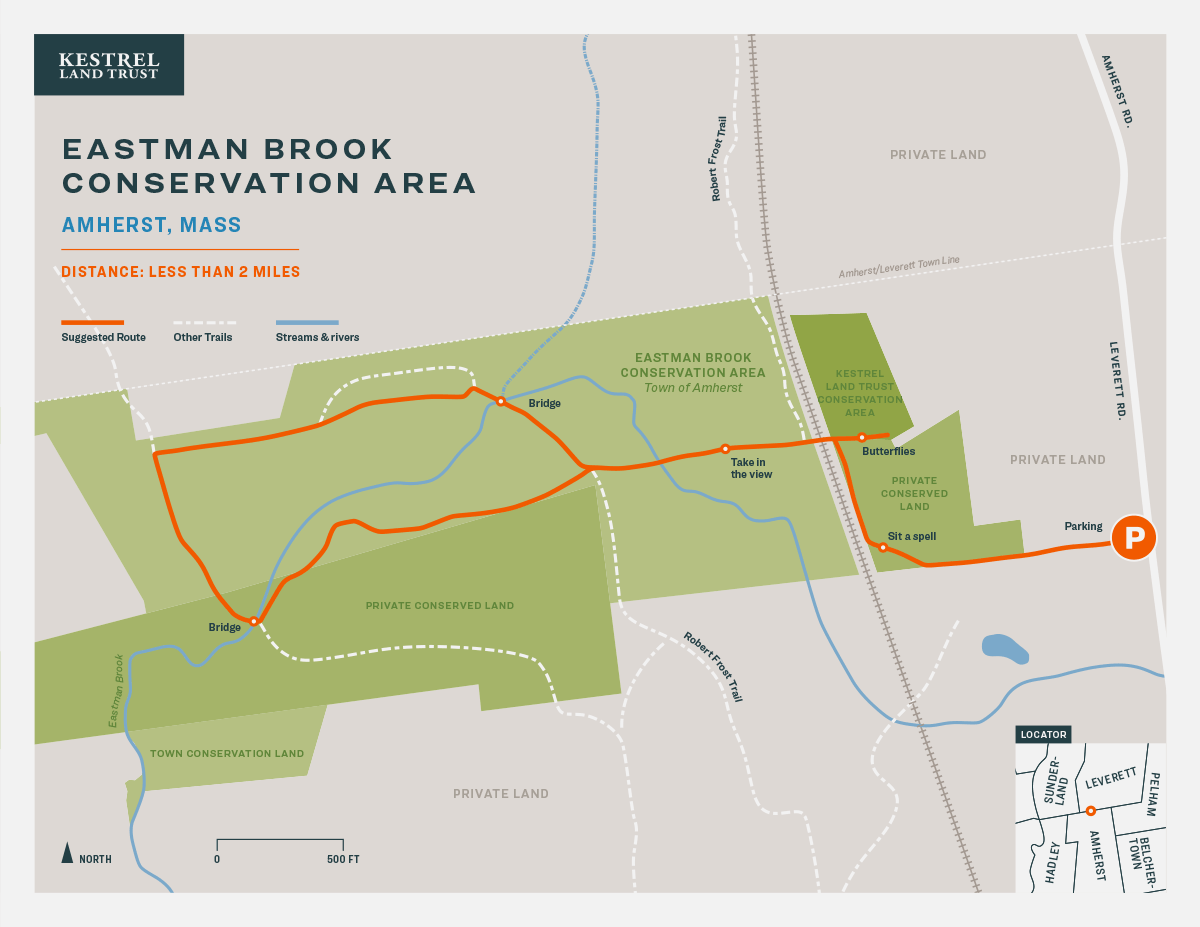
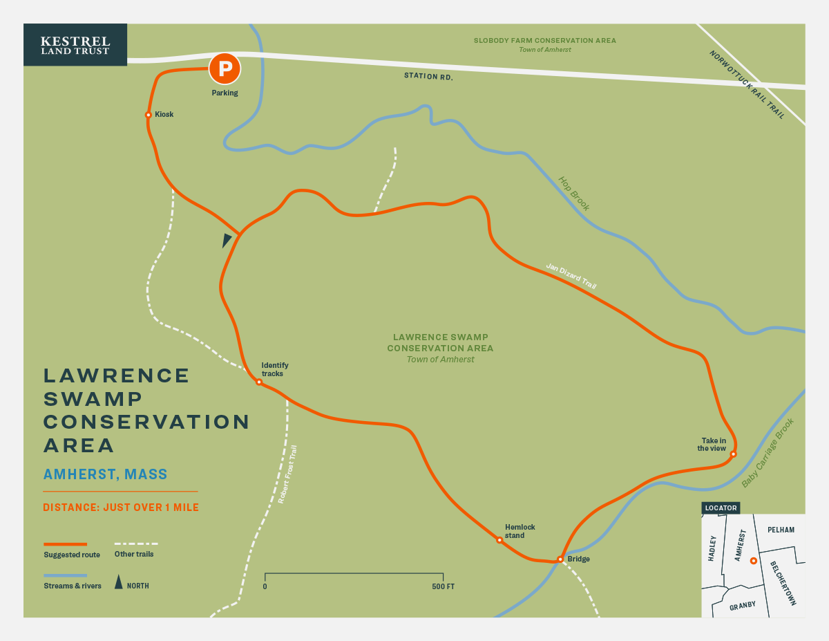
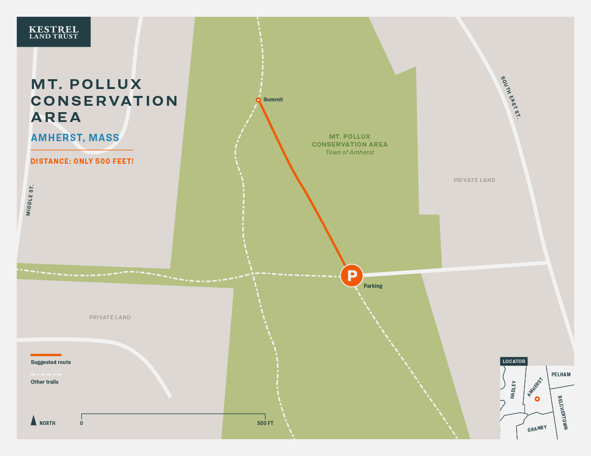
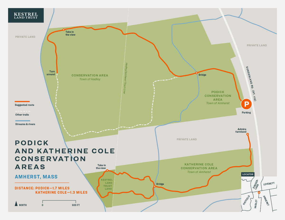
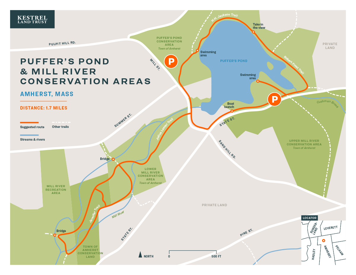
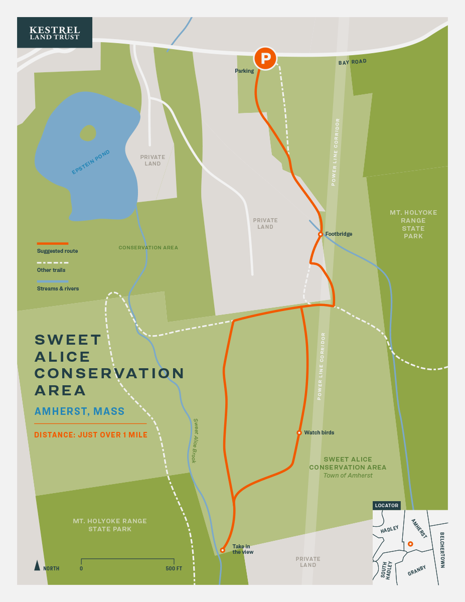
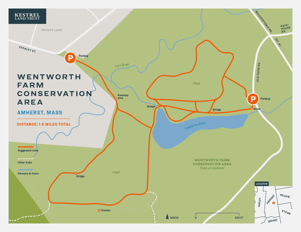
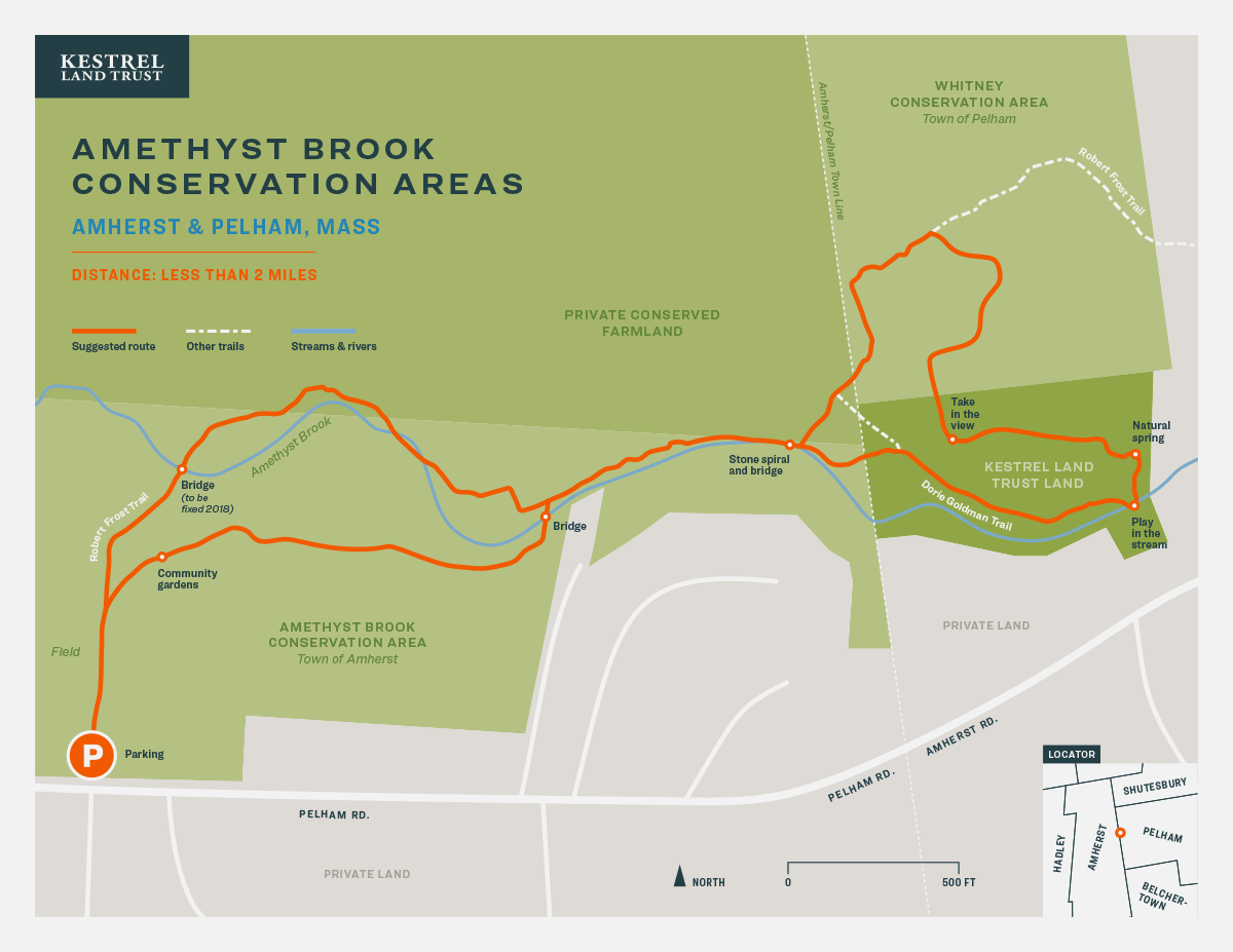
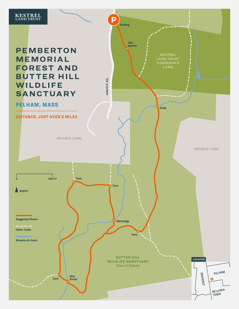
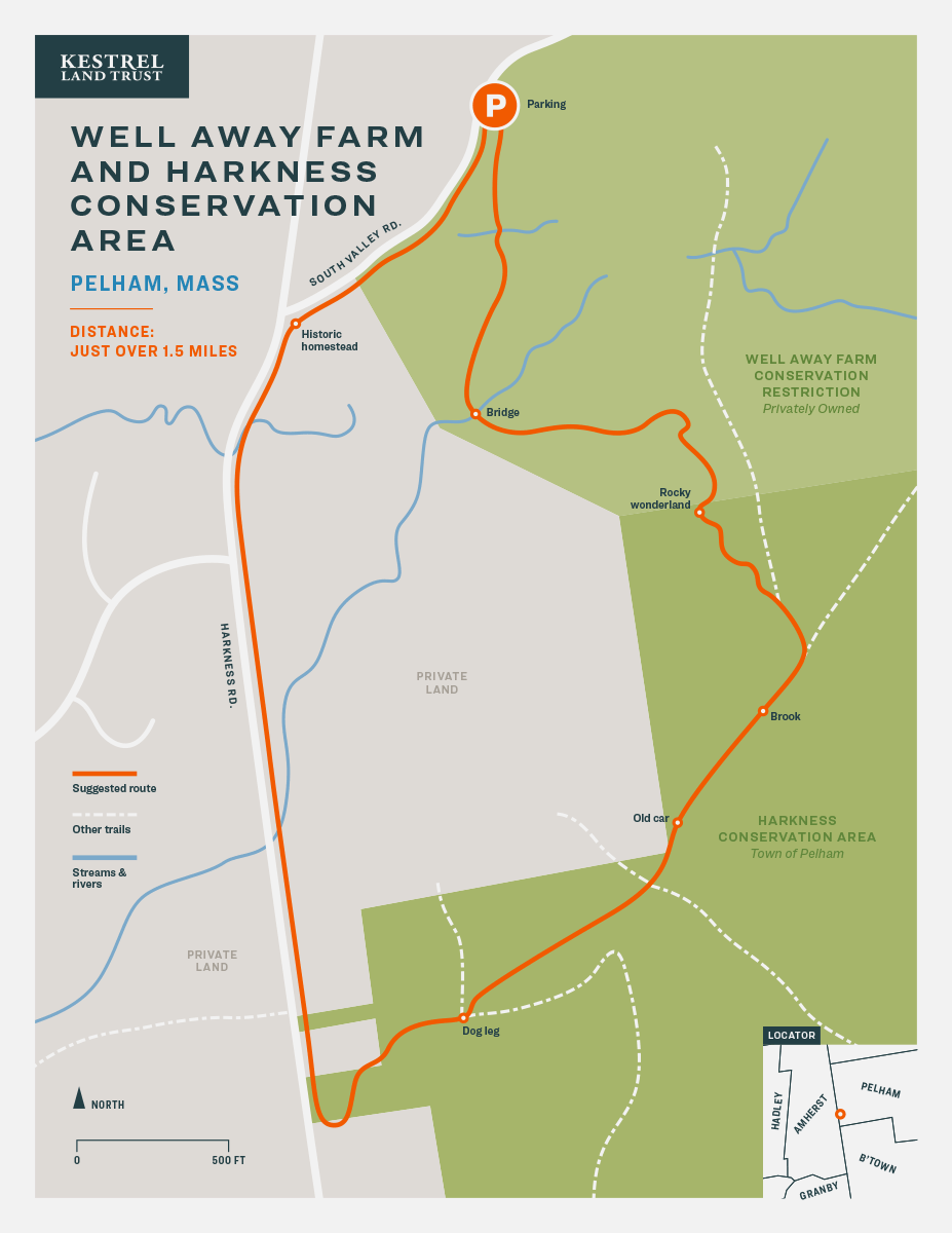
Transit Authority Figures is proud to be a partner with Kestrel Land Trust on this delightful collection of trail maps. TAF provided in-kind design for the project in the form of 20 unique map designs and a suite of icons representing the range of activities available to hikers.
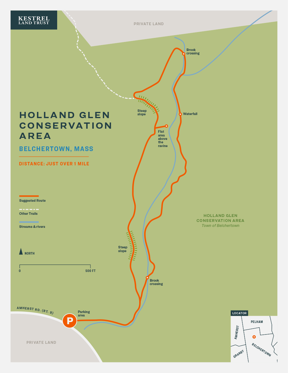
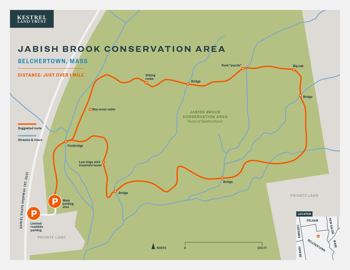
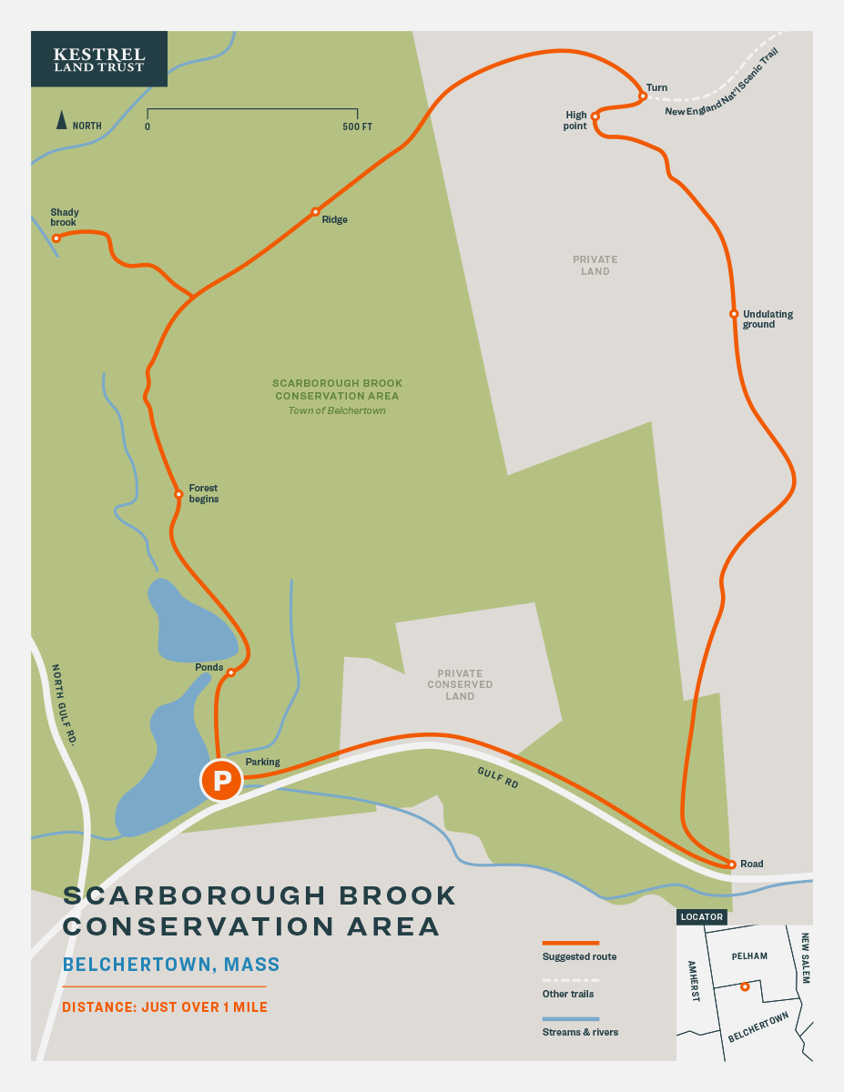
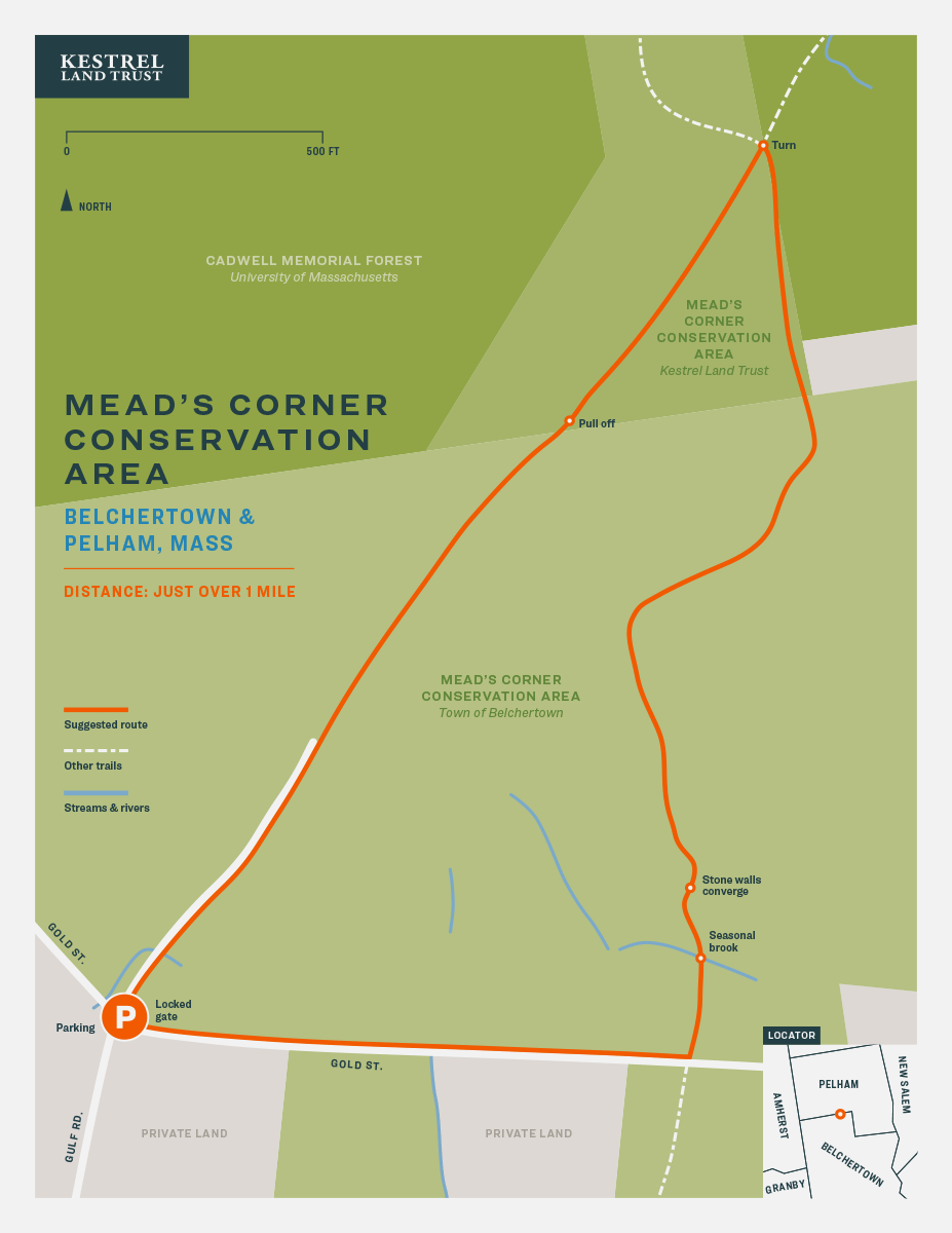
Click here to download a full deck with all 20 maps or download individual maps, grouped by town below.
Scope of Work

Like Kestrel, we believe that everyone should be able to enjoy Hampshire County’s natural beauty. Envisioned as short, entry-level hikes, these maps provide entry points for families with children or anyone looking for a 1 to 2 mile excursion into the woods. There is even one fully accessible trail for people with physical limitations. All of the hikes are located on public conservation areas or public trails that Kestrel Land Trust has helped to create or expand.
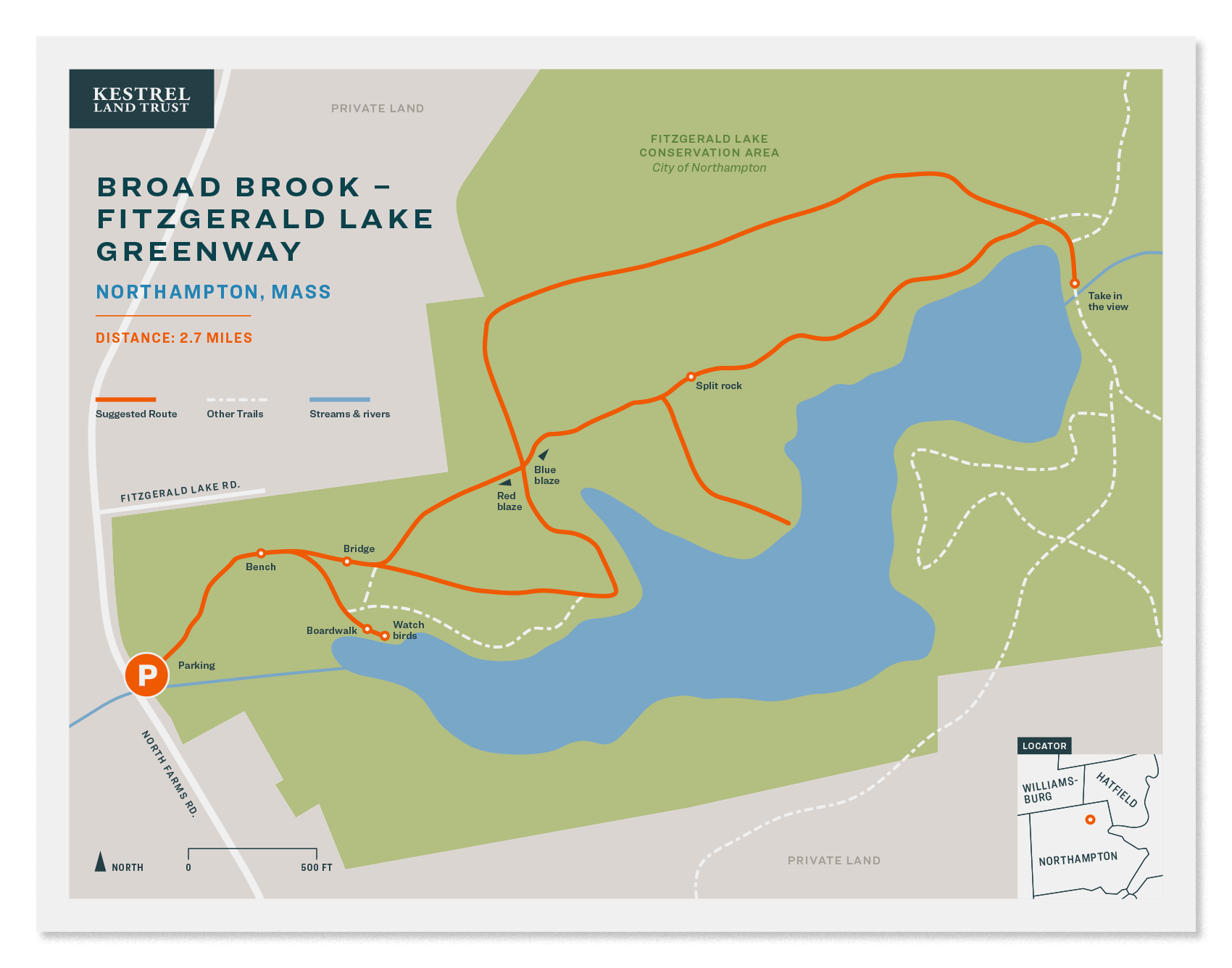
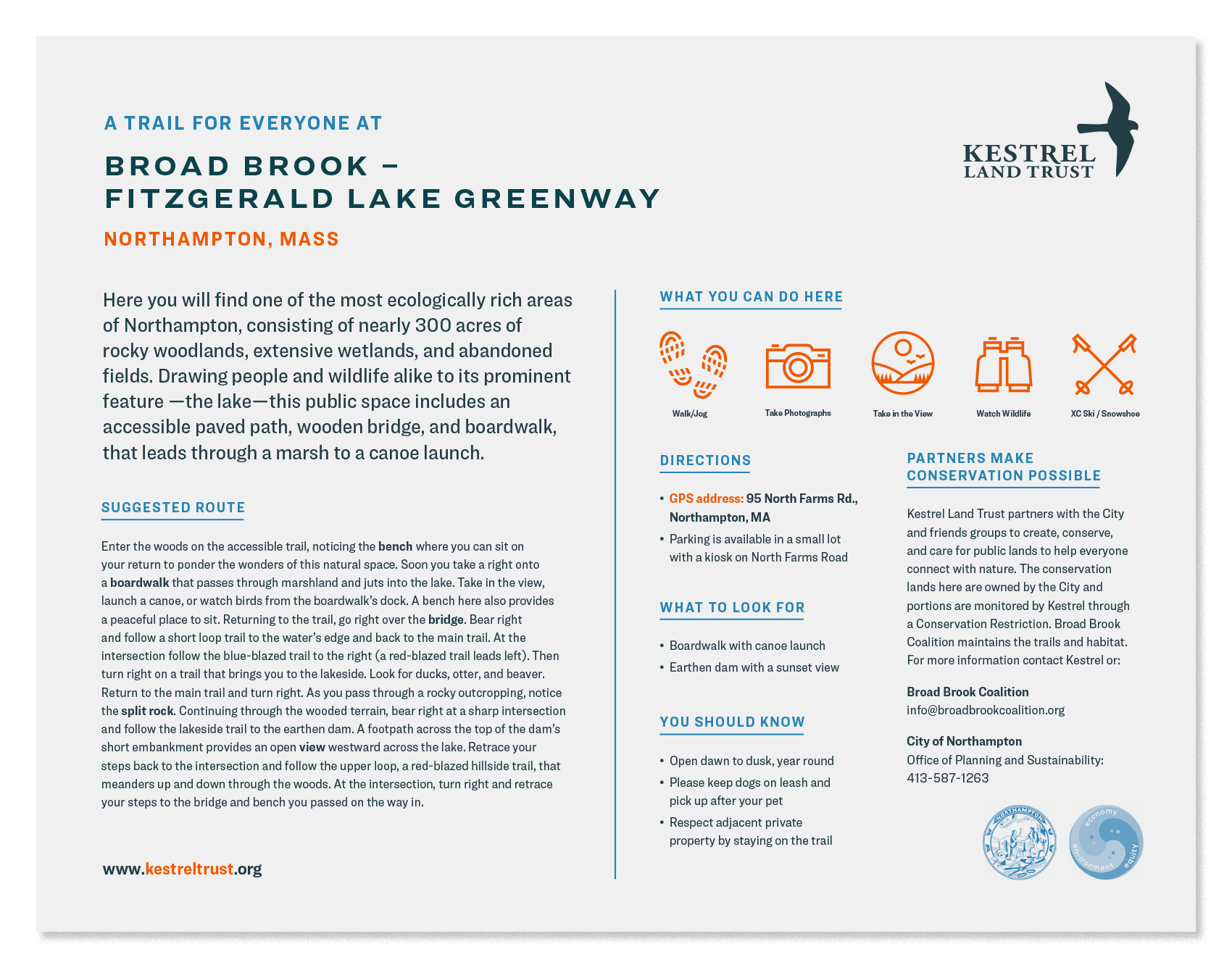
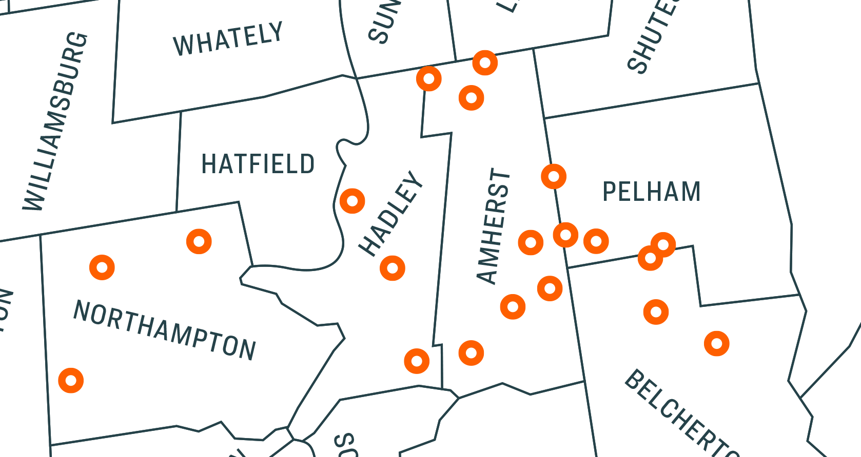
TAF has been making maps of the valley for many years, beginning with the Northampton/Amherst Subway Map. We’ve long been enchanted with maps as instruments of powerfully communicative graphic design. We hope these maps inspire hikers of all levels to get out and explore these beautiful spaces.
